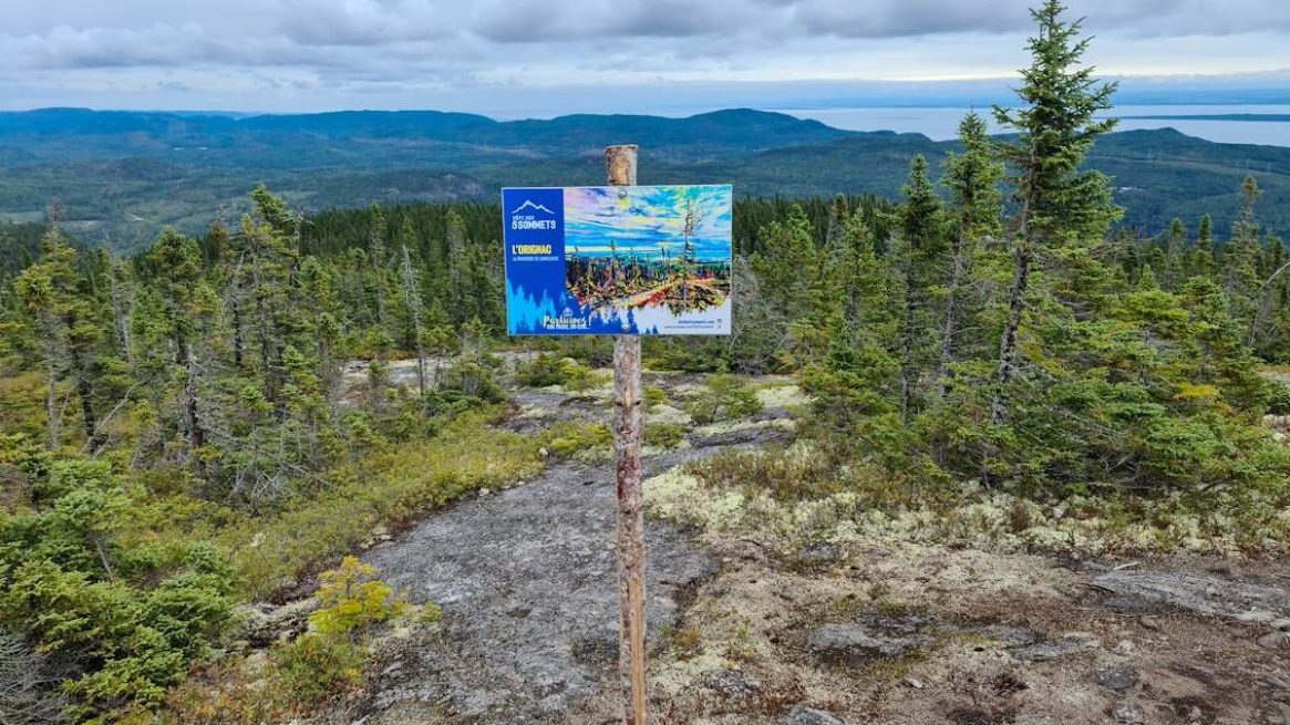
Sentier Orignac 2021
Charlevoix
 Francois
 This article is only available in French.
Summit / Peak
Distance 13.6 km
Elevation gain 637 m
 Easy
Out and back
Dogs OK
Paid
Easy
Out and back
Dogs OK
Paid
Easy
Out and back
Dogs OK
Paid
Information
Distance
13.6 km
Elevation gain
637 m / 2,090 ft
Difficulty
Easy ★★☆☆☆
Dogs
Allowed — excepté chasse
Estimated duration
5h00 @ 4 km/h
5h40 @ 3.5 km/h
6h40 @ 3 km/h
5h40 @ 3.5 km/h
6h40 @ 3 km/h
Destination type
Summit / Peak
Hike type
Out and back
Parking
Google Maps link
Access
Paid — Pricing info
Destination(s) on this hike
Montagne des Taillis
594 m
1,949 ft
1,949 ft
Hike map
 Climbed summits
Sentier Orignac 2021

☆☆☆☆☆0.0/5 (0 vote)